
Regional campaigns used to stumble over the smallest step: putting together the right area. Looking up postal codes one by one and typing them in costs time and is error-prone. That is over now. The Ad Manager now has a geo-location tool that lets you define your advertising area directly on an interactive map.
What the geo-location tool can do
The tool gives you two ways to mark out your area, and you can combine them.
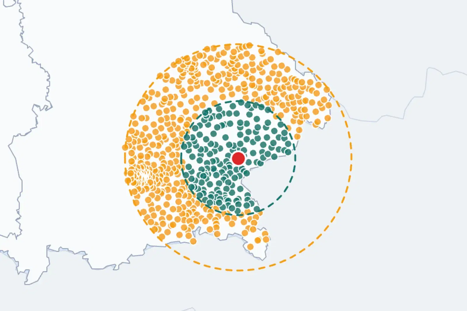
The first way is the radius. You place a point on your location and draw a circle around it. The tool automatically selects all postal codes within that radius. So you have your catchment area together in a few seconds, without typing a single postal code.
The second way is direct picking. On the interactive map you click individual postal codes and add them to your selection or take them out again. This lets you refine the area exactly to your needs, for example when you only want certain districts or neighbouring towns.
In both cases the selected postal codes move automatically into the campaign configuration. You see your area, confirm it, done. If you prefer another way, you can still enter postal codes manually or upload a whole list via Excel or CSV.
Map your area in seconds!
Book a demoWhy it makes campaign setup better
The biggest gain is time. What used to be typing and looking up is now a radius or a few clicks. Especially with larger areas and many postal codes, that saves noticeable effort.
On top of that comes accuracy. Because you see your area on the map, you do not choose blindly by numbers, but immediately recognise whether your catchment area is really covered and where it ends. Typos in individual postal codes disappear, and you do not forget a corner that actually belongs in.
And finally, flexibility. Radius and individual picking can be mixed, so you set the rough surrounding area quickly and then cleanly add the details. The result is an advertising area that fits your business exactly. How regional targeting in streaming works in general is shown in the article on regional targeting in streaming TV.
Who it pays off for most
Those who benefit most are everyone whose customers come from a clear surrounding area.
Local retailers and hospitality reach exactly the people in their own town and the neighbouring towns, instead of scattering budget into the distance. Car dealerships and regional service providers such as trades, practices or studios mark out their catchment area precisely. Multi-location chains and franchise businesses can quickly define a separate area for each location, without any paper chaos. And whoever runs a regional campaign, an opening, an event or a time-limited offer gets the right area on the map in minutes.
How to get started
You find the geo-location tool directly in the Ad Manager during campaign setup. You mark out your area, and digital targeting builds on top of it: by region and postal code, plus age, gender and interests. That way you combine the high attention of the big screen with delivery that hits exactly the right people in your area. Why streaming advertising pays off especially for small and medium-sized companies is explored in the article on Streaming Ads for SMBs.
Conclusion
The new geo-location tool turns the fiddliest part of campaign setup into a matter of seconds. Draw a radius or pick postal codes on the map, take them into the campaign automatically, and if you want, still use manual entry or upload via Excel or CSV. Faster, more accurate and without typos, you arrive at an advertising area that fits your business.
Want to mark out your advertising area in a few clicks? Get started in the Ad Manager or book a demo, and we will show you how in 30 minutes.
FAQ
What is onescreen's geo-location tool? A tool in campaign setup in the Ad Manager that lets you define your advertising area on an interactive map. You draw a radius around your location or pick individual postal codes, and the selection is taken into the campaign automatically.
Can I still enter postal codes manually? Yes. Besides the radius and picking on the map, you can still enter postal codes by hand or upload a whole list via Excel or CSV.
How does the radius selection work? You place a point on your location and draw a circle. The tool automatically selects all postal codes within that radius and takes them into the campaign configuration.
Who does the tool pay off for most? For everyone with a clear catchment area: local retailers and hospitality, car dealerships, regional service providers, and multi-location chains and franchise businesses that want to quickly mark out a separate area per location.